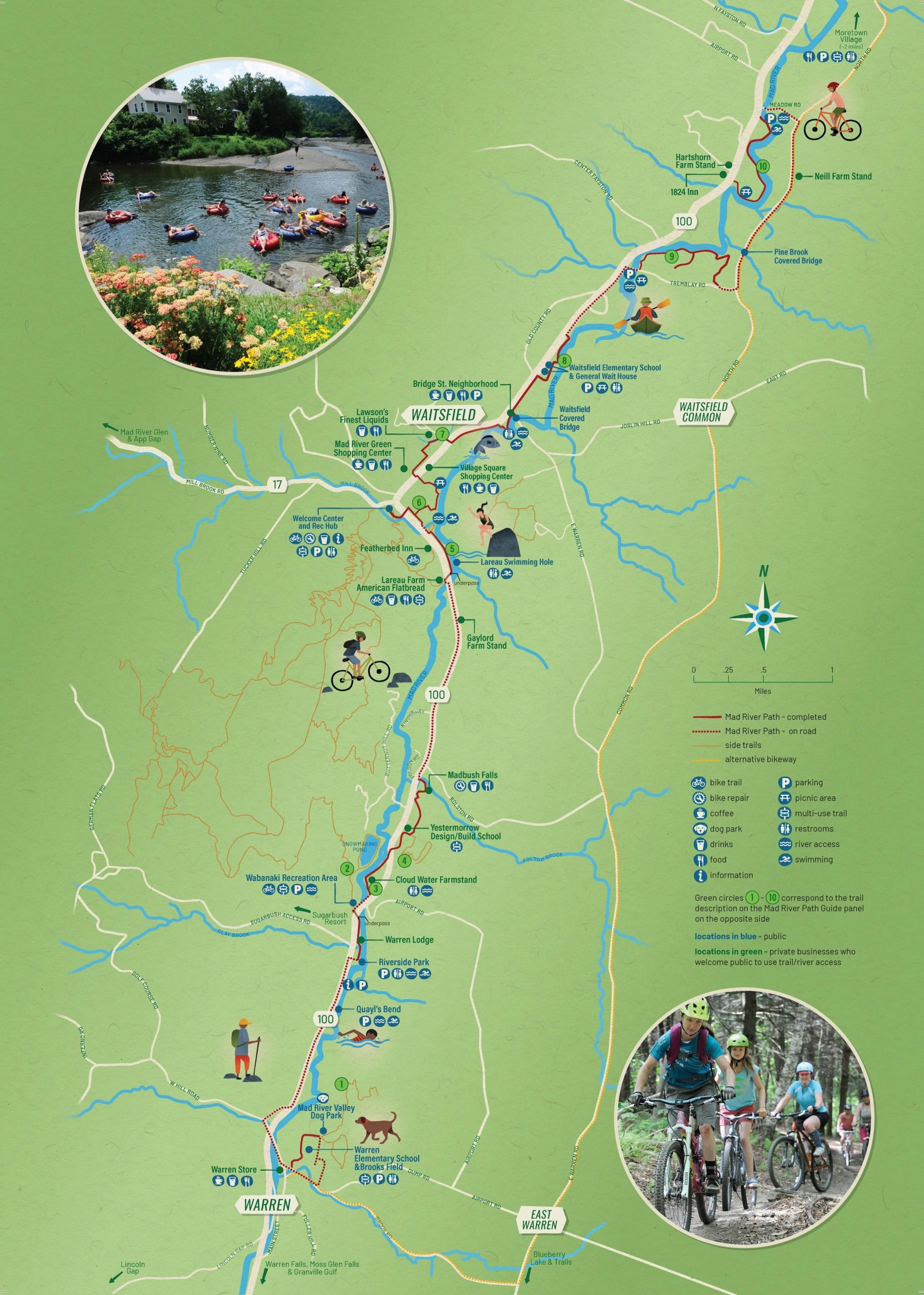
Mad River Path
Imagine a brilliant October morning in the not-so-distant future. A wide and well-graded path runs the length of the Valley. In some places, it parallels VT-100, and in others, it meanders through adjacent meadows. Along the Path, groups of children are riding scooters to school, a young parent is pushing a stroller, morning commuters are biking to work, an older couple is on their way to the grocery store on e-bikes, and a group of tourists is rolling their bikes to a rack in front of the trail-side farm stand.
This is the Mad River Path of the future, an active transportation corridor extending from Warren to Middlesex!
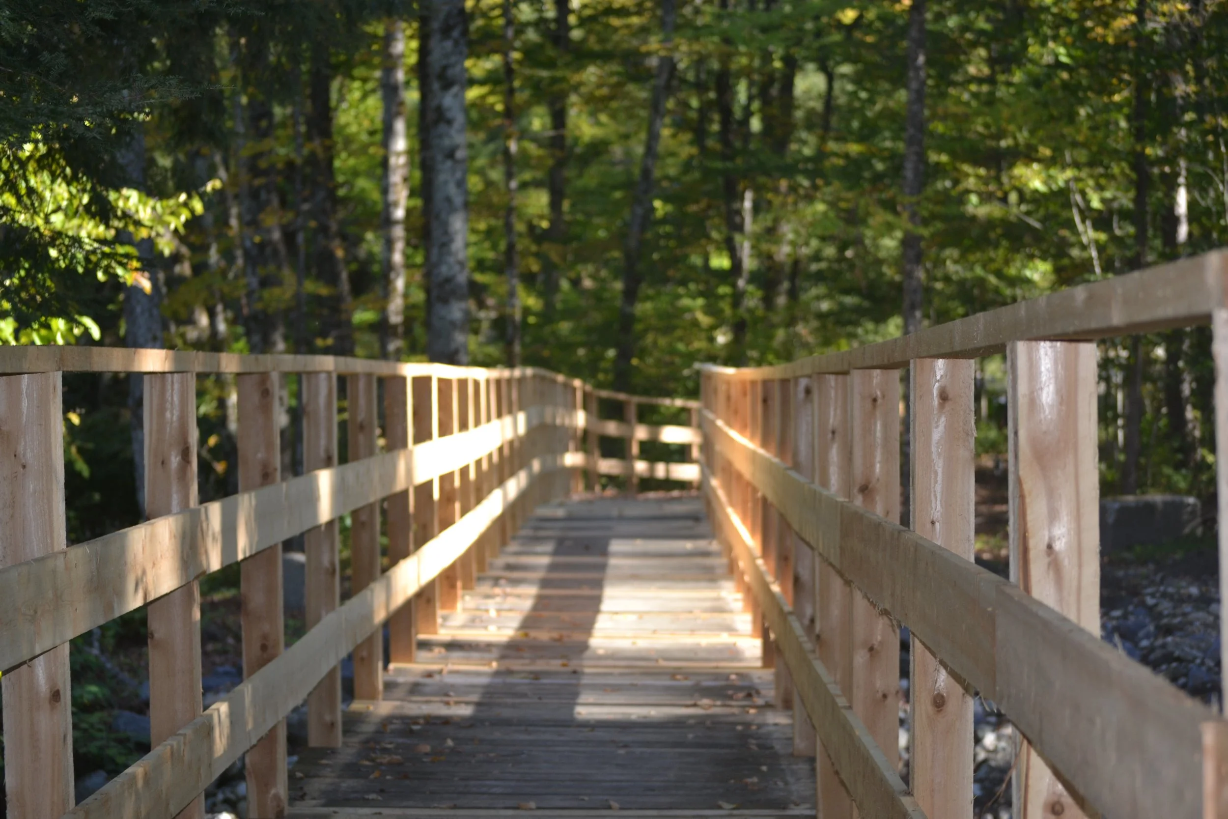
The Mad River Path active transportation corridor will:
+ Connect Warren to Middlesex with a multi-use path traveling parallel with, but separated from, VT-100 within the state right-of-way.
+ Improve pedestrian and bicycling safety
+ Provide inclusive and accessible alternatives to vehicle travel
+ Connect to state-wide trail networks, including the Velomont and Cross Vermont Trails.
+ Enhance the Mad River Valley’s recreation assets
The Mad River Path will improve the well-being of all and infuse the Mad River Valley with new energy for cooperation within and between our communities.
Background
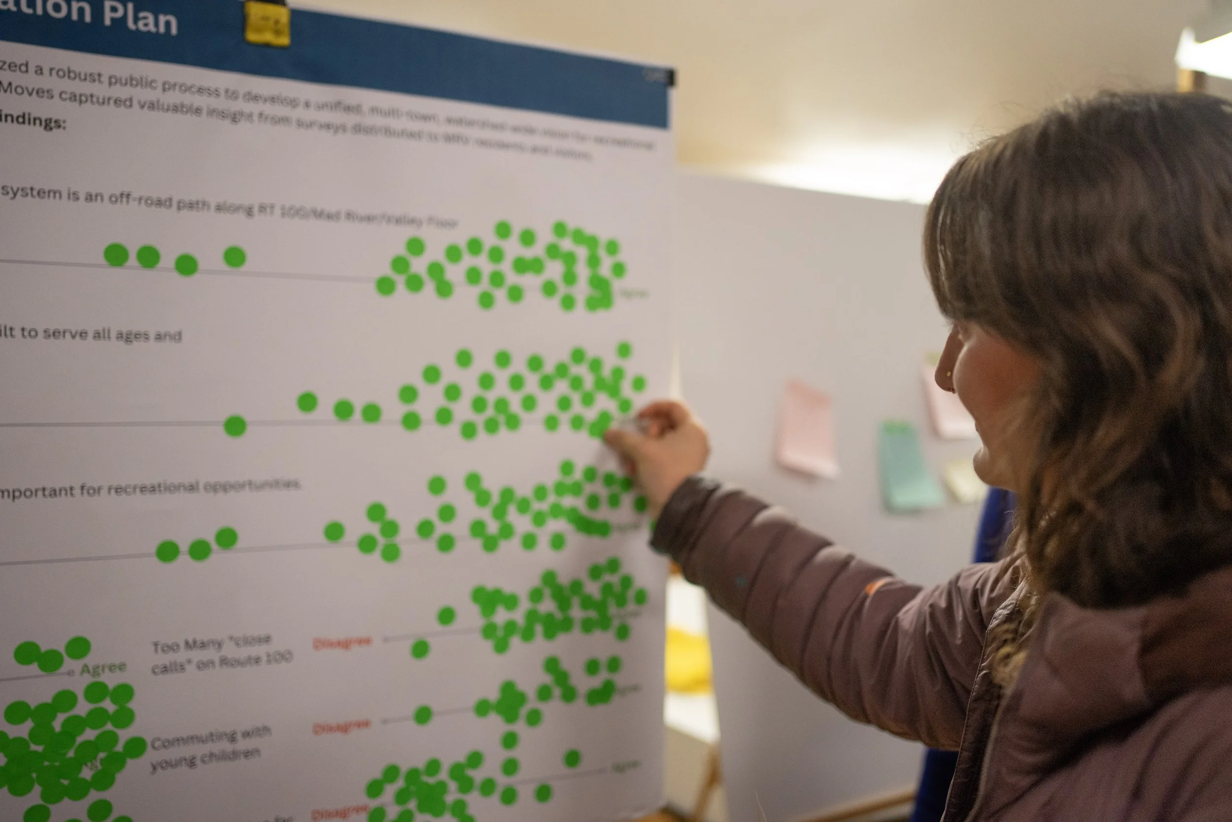
In 2016, the MRV Moves Active Transportation Plan established a comprehensive valley-wide vision for connected trails, roads, and sidewalks in the Mad River Valley (MRV). MRV Moves called for a “consistent, cohesive and connected regional system” that would provide safe access between villages, schools, and businesses. The plan identified specific trail connections and highlighted the Route 100 corridor as a critical spine for the regional network. In 2023, Mad River Path and MRV Planning District successfully secured an $84,000 Transportation Alternatives Program grant to assess the feasibility of this opportunity.
Practical Approach
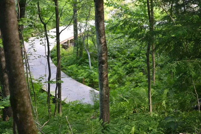
Using (and improving) existing trails, focusing on village-to-village connections, while reusing existing sidewalks through the village centers, interim configurations at bridge crossings, employing boardwalks through ecologically sensitive areas, and improving flood resilience, are examples of a practical “can-do” approach to design and construction of the path.
Long-Term Commitment
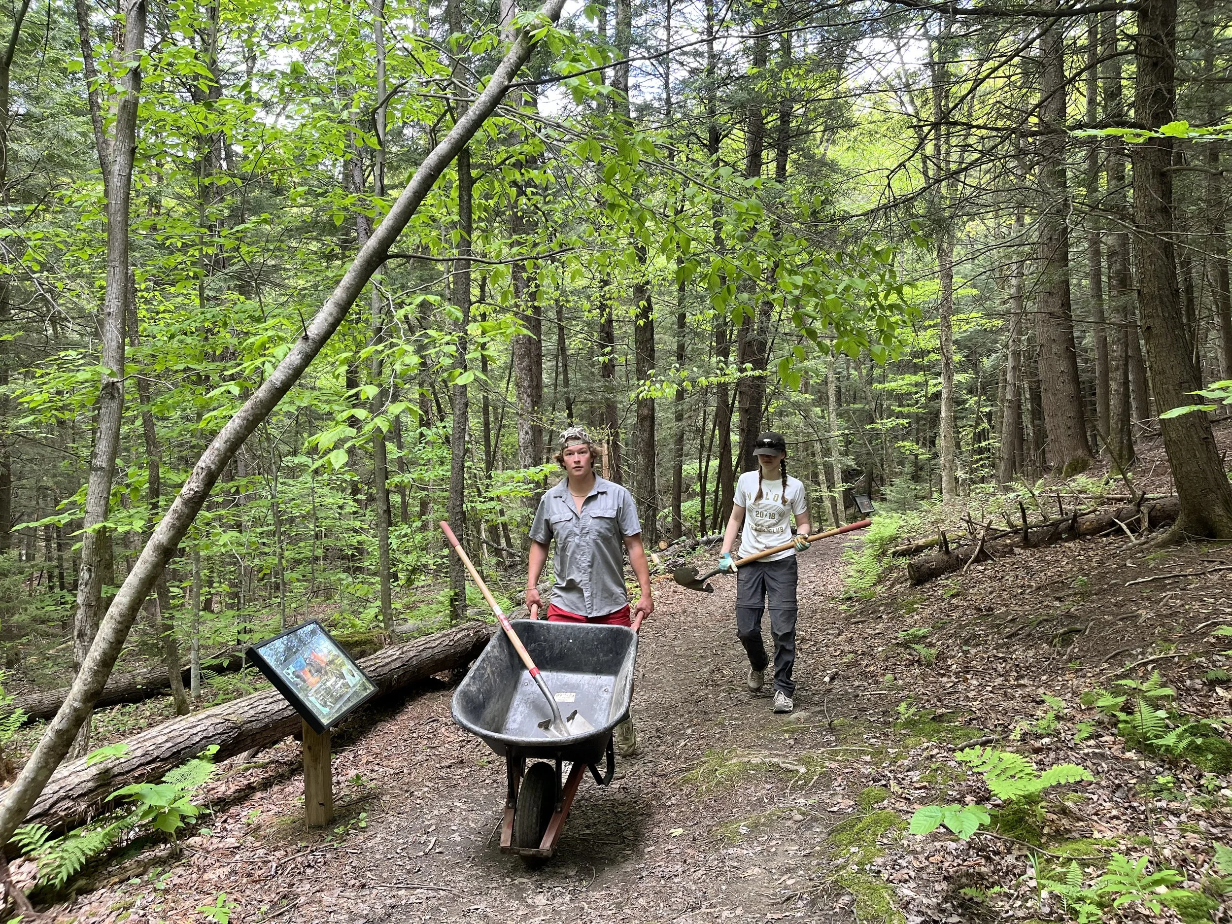
Completing the Mad River Path is a long-term commitment that requires a sustained effort by the entire valley. Together, we will manifest a beautiful Path that connects communities, provides access to nature for everyone, improves well-being, reduces carbon emissions, and becomes a driver for the sustainable recreational economy.
Coalition of Support
The work begins by building a broad coalition of support. Our partners include the local town governments, selectboards, conservation commissions, and planning commissions. We work alongside landowners, nonprofits, and local businesses. We are building support with our state representatives, as well as other statewide networks like VMBA, the Cross Vermont Trail, and Velomont. We develop relationships with grant funders like VTrans and business sponsors.
Project Timeline
Scoping Study (2024-2025)
In December 2023, we worked with our partners to apply for funding to undertake a scoping study, administered by the VTrans Transportation Alternatives Program. In April 2024 we received an $84K grant for an engineering study of the proposed path. The study broke the project into sections, identifying priorities, opportunities, and challenges. It solicited and took into consideration public input. The scoping study was finished in 2025 and its findings presented at a final public meeting.
Implementation (2026-)
Following the successful scoping study, our municipal partners will become eligible to apply for final design and construction funding through VTrans’ Bicycle & Pedestrian Program and Transportation Alternatives Program. The funding will come from the federal transportation budget and will require a 20% local match. Implementation will be taken in sections, with each section having its own “independent utility” (making it useful even if the rest of the path is not yet completed). While it will take years to complete the entire path, the Kingsbury Greenway became the first section to be completed and upgraded to an adaptive standard in Summer 2026.
2023
Fall 2023: Warren, Waitsfield and Moretown approved local funding for the scoping study.
December 2023: Submitted application to the VTrans Transportation Alternatives (TAP) Program for funding to assess the feasibility of a multi-use path along the VT Route 100 right-of-way from downtown Warren to the intersection of VT-100 B and Hooper Ln. in Moretown.
2024
April 2024: The Central Vermont Regional Planning Commission (CVRPC), Mad River Path, and MRVPD receive an $84K Scoping Study Grant.
June 2024: The committee chooses VHB as our scoping study partner.
August 2024: The Corridor Advisory Committee is created with the representation from four valley towns.
September 2024: The first Advisory Committee Meeting, and project kickoff
November 2024: First active transportation corridor public meeting
March 2025: Second active transportation corridor public meeting
2025
October 2025: Final meeting to present findings of the scoping study
2026
August 2026: Kingsbury Greenway becomes the first segment to be upgraded to a fully adaptive standard
Implementation
The 2027 Implementation Plan is under development and will be posted in November 2026.
-
The committee designated the Kingsbury Greenway section of the Path as our major project for 2026 and was completed in August 2026.
The Path here underwent a major upgrade, including widening and surfacing to meet the adaptive standards, and the accessibility reroute to bypass the stairs. The bridge was stabilized with helical piers and a mural was painted underneath by Valley Arts.
Thank you to Dunbar Excavation, VT Techno Post, Mad River Metalworks, s. and Stone, Friends of the Mad River, and Valley Arts for their contributions.
-
An unexpected upgrade in the Summer and Fall of 2026 - the Clay Brook Bridge connecting Riverside Park and Kingsbury Greenway began to fail due to deep erosion of the stream bed and banks.
This project required stabilizing the banks, adding helical piers, and extending the bridge by 25 feet.
Thank you to Timber and Stone, VT Techno Post, Jon Rickard and countless volunteers.
-
Thanks to a VTrans Transportation Alternatives grant, design and construction will begin on a bike/pedestrian bridge and shared-use path.
Currently, the Austin Path extends North from Lareau Swimming Hole and ends just before the Mill Brook crossing (next to Mad River Massage). It also extends south to American Flat Bread and Revolution/Evolution trailhead via the Lareau Bridge underpass. The new bike and pedestrian bridge will extend the Austin Walk across the Mill Brook, and the shared use path North of the bridge will complete the connection to Dugway Road and Fiddlers Walk, effectively connecting Lareau to the village!
The bridge will look much like the bridge that was constructed last year behind the rec hub by Mad River Riders. The need for this project was formally recognized in the Active Transportation Corridor Scoping Study, which received VTrans approval in 2025. The project was approved by the Waitsfield Selectboard last fall. Like all projects involving Federal funding, the design, permitting, and construction are very involved. The agency estimates a minimum of three years from the time of grant award to the project completion, so please be patient!